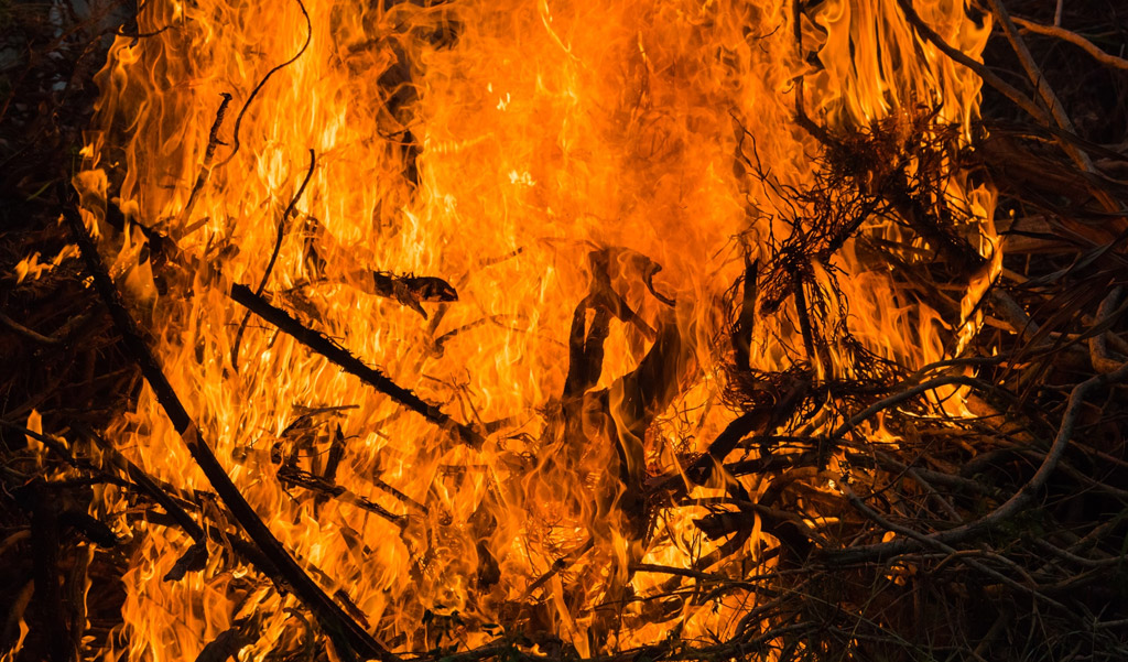
Forest Fire
Risk Mitigation
ForestSAT web and mobile apps aim to provide unparalleled perspective and depth into forest health and degradation, measuring fuel building and predicting fire risk by analyzing of dozens of parameters.
Data on past gain/loss, canopy change, drought, tree species, infestations, precipitation, and extreme events going back years through decades of satellite data. Together with in-situ and aerial data, our AI identifies areas at risk of severe fire.
Accurate actionable Forest Fire risk prediction intelligence for wildfire risk mitigation & prevention.
We are leveraging satellite earth observation data and artificial intelligence (AI) to predict and prevent uncontrolled forest fires that are devastating our planet’s forests & animal life with increasing frequency and ferocity due to climate change-induced stresses and extremities. Forest Fires are causing significant CO2, and toxic emissions. Fire prevention through data-driven nature-based solutions is the ethical and effective method to mitigate and prevent mega wildfires.
The preventive action of urgent fuel management, defensive and preventive measures followed by regeneration, resilience and reforestation is delivered to forest managers and decision-makers in project management tools. Polygons of risk profile are identified and delivered in project management application with AI recommended smart management tasks such as mechanical fuel removal, controlled burns, treatment of bugs and infestations and thinning of density.
ForestSAT monitors the corrective, and preventive actions continually and provides the perspective and analytics on tree sapling survival, growth rate and restorative, impact leading to risk reduction.
AI Decision Support System provides insights on the right tree species to plant in the right locations for maximum chances of survival and growth for essential restoration of forest health through re-greening and reforestation.

ForestSAT AI : Preventing Devastating Large Forest Fires
At ForestSAT we are leveraging satellite earth observation data and artificial intelligence (AI) to predict and prevent large forest fires that are devastating our planet’s lungs with increasing frequency and ferocity due to climate change-induced stresses and extremities.
ForestSAT ML algorithms are trained to process many years of satellite imagery and remote sensing data on weather, soil, forest vegetation, tree height & health change, infestations, biomass, carbon stock & hydrology to measure fuel buildup and areas at risk.
- ForestSAT procures and processes satellite imagery and remote sensing data from sensors at different temporal, spatial and spectral resolutions from Landsat Sentinel, Terra satellites of NASA, European Space Agency, German, Japanese, Indian and commercial satellites going back more than 20 years.
- ForestSAT Machine and Deep Learning for Earth Observation extract valuable knowledge on forest vegetation to estimate forest carbon storage over large regions.
- Our algorithms measure forest fuel build-up, drought and climate impact on vegetation to estimate areas at risk of a forest fire. Many forests are already in “tinderbox” conditions and could explode anytime thus requiring the urgent intervention of controlled burns, defensive civil works, or mechanical fuel removal.
- We estimate the risk of fire by tracing and measuring fuel to forests, grasslands, croplands, communities and assets.
- Our algorithms calculate carbon emission risk from wildfire and/or deforestation and predict the impact of carbon sequestration from standing forest and/or regenerated forest.
- Deep learning change analysis provides insights into forest health and lays the foundation for science-driven preventive and regenerative actions. A direct relationship is established between carbon emission risk and sequestration potential through forest regeneration to channel carbon finance into restoration, resilience and reforestation.
ForestSAT AI app delivers forest managers with deep forest fire risk profiles, forest-human interfaces & assets at risk polygons as a decision support for fire risk mitigation, fire prevention and forest regeneration.
ForestSAT Forest Fire Prevention DSS for Forest Managers
After comprehensive forest observation ForestSAT AI provides polygons of high fire risk, presently burning fires (underground, grass fires which can burn for long periods undetected and can be spotted from satellites), fire burned areas from previous fires, at risk areas and auto generates forestry vegetation and fuel management tasks for forest managers.
Forest managers input additional in setu data and/or arrange aerial reconnaissance of areas-at-risk as required and upload it through ForestSAT app. The AI responds with updated recommendations. Forest managers make final decisions and the action on the ground is auto-monitored by satellites on an ongoing basis. Any difference made to the vegetation is recorded and risk profiles updated.