Carbon Finance for Forest Fire Prevention & Resilient Forest Regeneration
Geospatial Data Driven Carbon Finance for Forest Fire Prevention & Forest Resilience
ForestSAT is unique in providing actionable intelligence and depth of perspective continually to mitigate fire risk to critical infrastructure.
ForestSAT AI Apps, Dashboard, and Decision Support System (DSS) represent game-changing data driven solutions without the need for specialized GIS software or skills. ForestSAT is a pioneer in the democratization of space data in delivering a powerful disruptive solution for the protection of fragile ecosystems and infrastructure so strained by climate change extremes.
We have created a geospatial data-driven, transparent, verifiable, and satellite-monitored, continually audited, carbon finance instrument to drive funding into forest fire risk mitigation, arresting CO2 emissions, and enhancing carbon sinks through smart reforestation, ecosystem regeneration rebuilding safe natural habitats for animals, empowering native communities through sustainable forestry work.
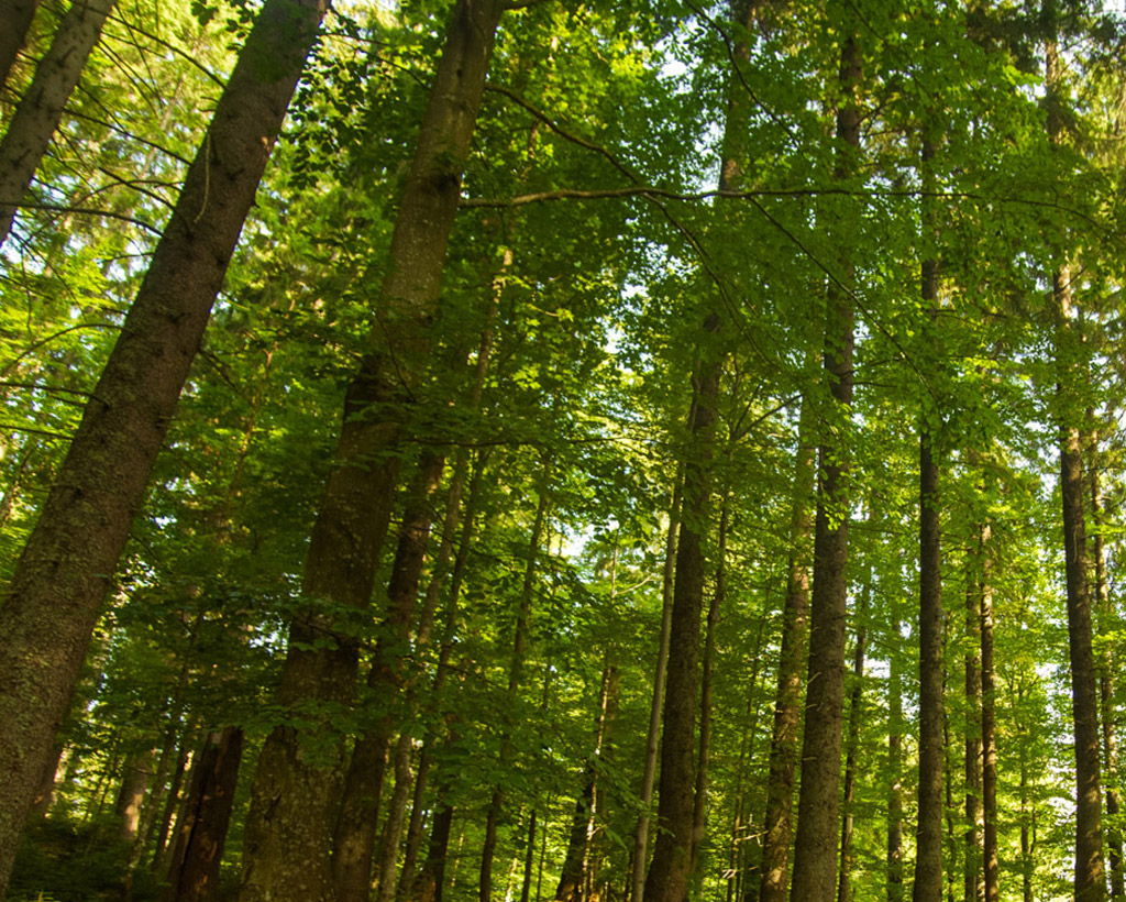
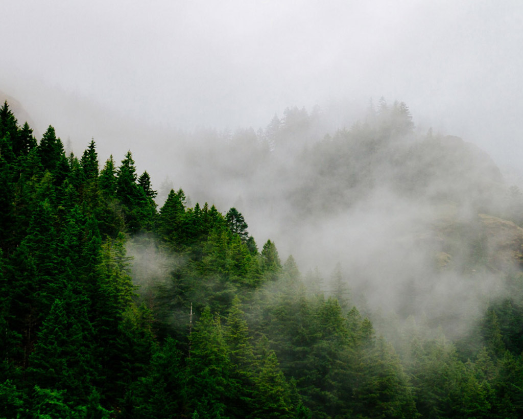
Forest fires, a major factor threatening the existence every type of forest ecosystem, have been getting worse in recent years.
According to a report by the WWF, the duration of fire seasons across the globe has increased by 19% on average.
In California, Oregon and Washington, emissions related to forest fires in 2020 were three times higher than the 21st century average.
The peak days of wildfire in California were reported to generate emissions approximately 4 to 8 times higher than the average daily emissions reported from all the economic activities across the state.
In Australia, the fire season has been starting early in places, with an increase in the duration of the fire season over extensive areas, according to the State of the Global Climate Report 2020.
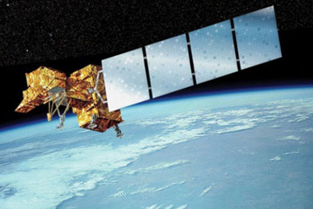
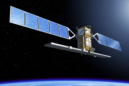
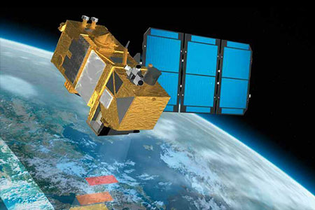
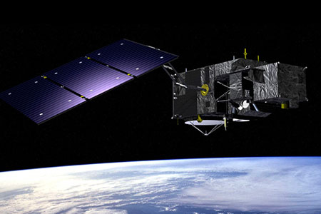
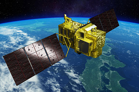
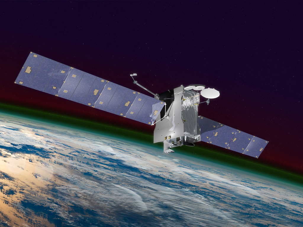
We identify forests at risk using Satellite Data and AI and generate projects for urgent mitigation, and prevention action.
Our Artificial Intelligence (AI) processes and analyses Earth Observation Satellite data to give deep insights into forests, predict wildfire risk areas and propose forest fire risk mitigation.
Our data and science driven solutions promise to prevent devastating wildfires engulfing our planet, destroying trees and animal life, emitting tons of toxic smoke and CO2. Beyond prevention we implement smart nature data based solutions to restore & regenerate forest ecosystems as natural carbon sink.
ForestSAT wildfire risk index, Area & Assets at Risk model is built on satellite earth observation (EO), IoT sensors, metrological data and in-setu data analyzed by artificial intelligence (AI).
While the vast majority of carbon emitted by wildland fires is released as CO2, CO, and CH4, wildland fire smoke is nonetheless a rich and complex mixture of gases and aerosols.
Primary emissions include significant amounts of CH4 and aerosol (organic aerosol and black carbon), which are short-lived climate forcers.
In addition to CO2 and short-lived climate forcers, wildland fires release CO, non-methane organic compounds (NMOC), nitrogen oxides and SO2. These species play a role in radiative forcing through their photochemical processing, which impacts atmospheric levels of CO2, CH4, tropospheric O3, and aerosol.
Source: https://www.fs.usda.gov
Wildfires emitted 1.76 billion tonnes of carbon globally in 2021.
That’s equivalent to more than double Germany’s annual CO2 emissions.
10+ Years Of Satellite Imagery
Petabytes Of Data Pre-Processed
30+ Parameters Analyzed
AI/ML Analytics & Predictions
Efficiency
Accuracy
Asynchronous
Transparency
Register to learn more about Forest Carbon Finance
To learn more about our innovative, data driven and best in class in transparency and direct effective application forest carbon finance, let us have a conversation.