Satellite Fire Monitoring & Alert System for national Parks of india
NASA TERRA (EOS) & AQUA satellite MODIS and VIIRMS Sensors
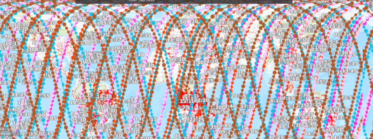
Fire & thermal anomaly data may be from fire, hot smoke, crop burning, or other causes and sources
Jim Corbett National Park
Kanha National Park
Kaziranga National Park
Pench National Park
Bandipur National Park
Valley of Flowers
Tadoba National Park
Sunderbans National Park
Register with us
Note: MODIS active fire hotspot location is center of a 1km pixel that is flagged by the algorithm as containing one or more fires within the pixel. C Each VIIRS active fire/thermal hotspot location represents the center of a 375m pixel. MODIS & VIIRS sensors pick up significant thermal anomaly. A persistent anomaly over a forest area is identified as a forest fire.
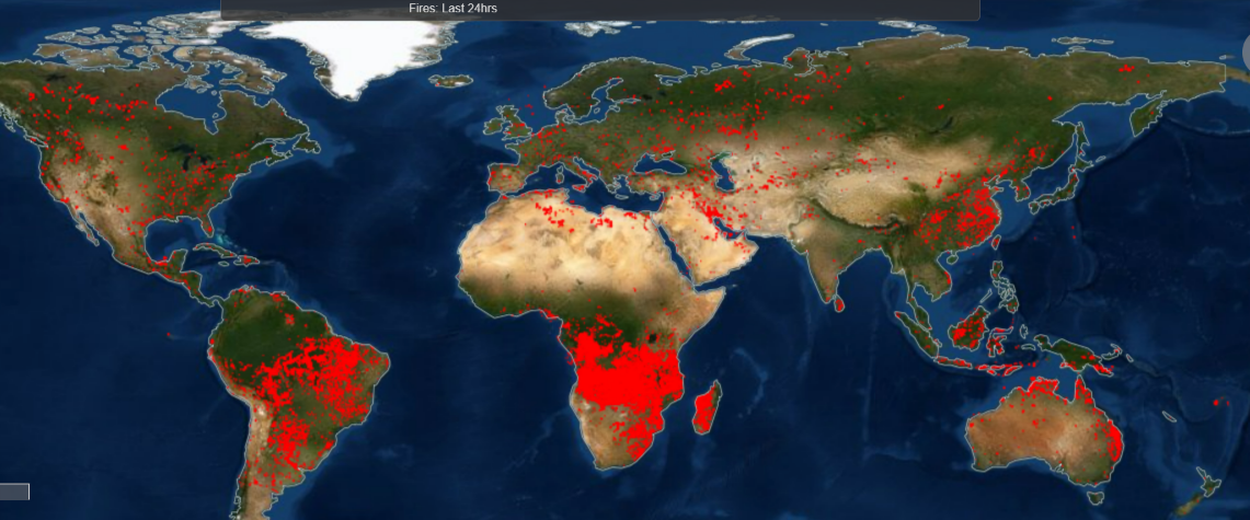
Global Satellite Fire Map August 2022
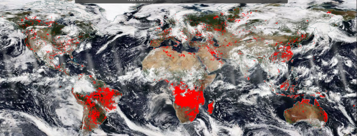
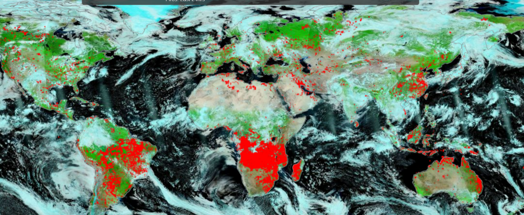
Global Satellite Fire Detection through Clouds August 2022
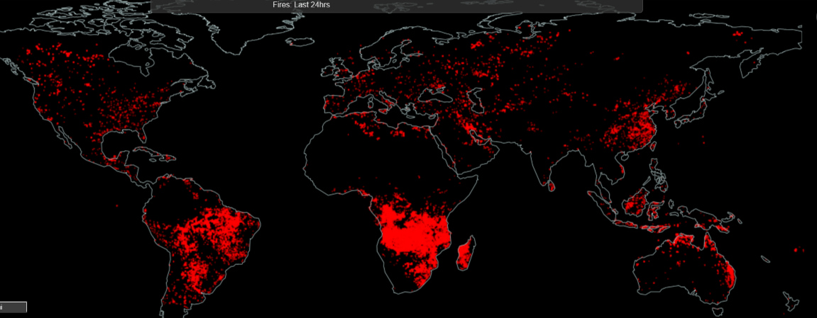
Night Time Mosaic Global Satellite Fire Detection August 2022