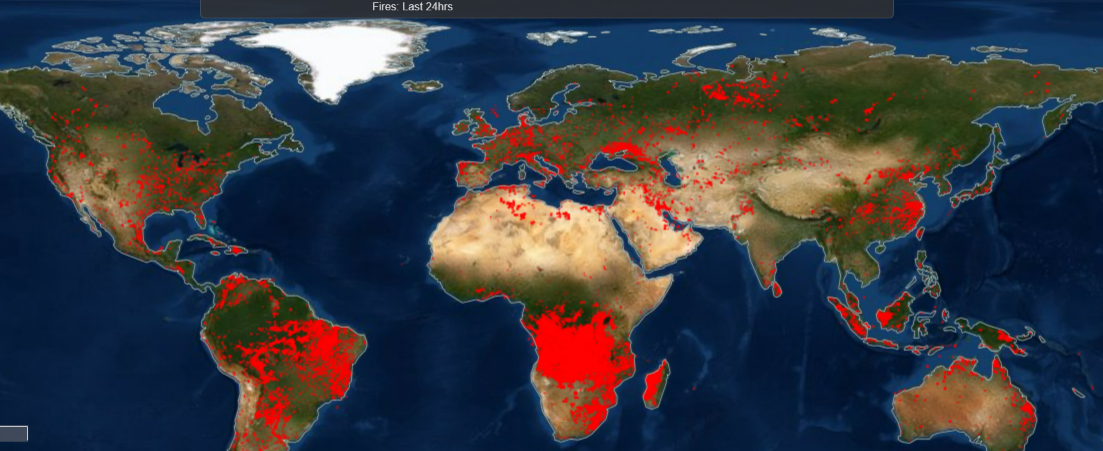
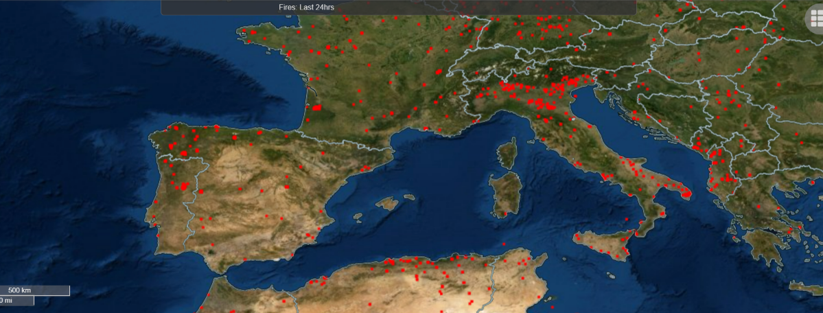
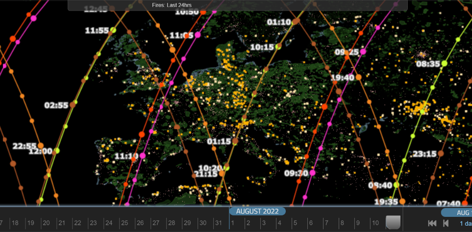
Note: Fire & thermal anomaly data may be from fire, hot smoke, crop burning, or other causes and sources.
NASA states that Each MODIS active fire/thermal hotspot location represents the center of a 1km pixel that is flagged by the algorithm as containing one or more fires within the pixel. Combined (Terra and Aqua) MODIS NRT active fire products (MCD14DL) are processed using the standard MOD14/MYD14 Fire and Thermal Anomalies algorithm. Each VIIRS active fire/thermal hotspot location represents the center of a 375m pixel. The VIIRS data complement the MODIS fire detections but the improved spatial resolution of the 375 m data provides a greater response of fires over relatively small areas and has improved nighttime performance.


Satellite Data and AI Forest Fire Prevention and Smart Forest Management. Lets talk about Nature Finance and innovative Forest Solutions.
mail@forestsat.space
© 2023 ForestSAT AS. All rights reserved.