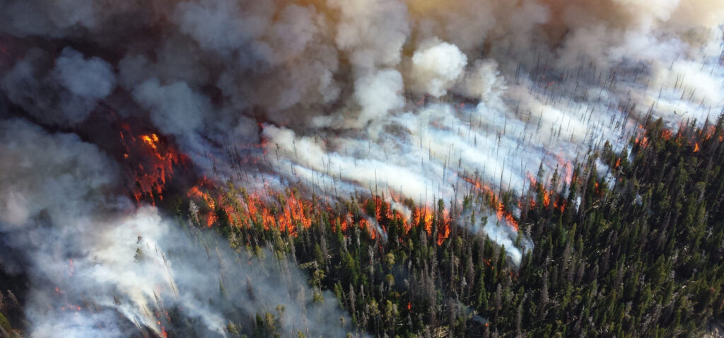
Climate change, droughts and extreme temperatures have caused the forests to accumulate large dead trees, branches, leaves ( called fuel ) and they are burning with greater intensity, ferocity, speed and destructive power than ever in the history of the planet. These are “bad fires” – large uncontrolled wildfires. When we refer to Forest Fires and Wildfires, we are talking about these large or mega fires which are killing millions of trees in large swaths of land and burn for weeks and months at a time. Occasionally, especially during prolonged drought, such fires can smoulder all winter and then emerge at the surface again in spring. These fires are common in peatlands of South Asia, Africa and as far north as Russian siberia where they burn for months and emit toxic fumes
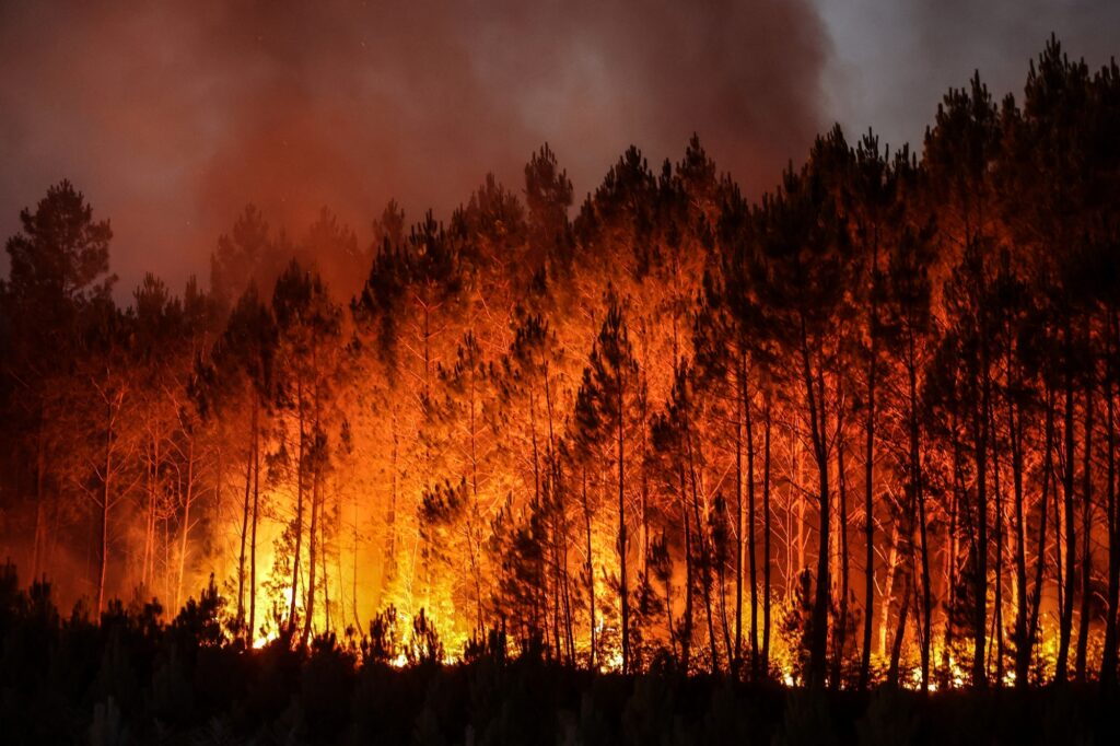
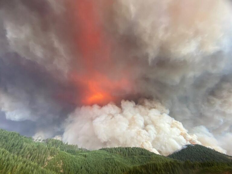
Wildfires release large amounts of carbon dioxide, black and brown carbon particles, and ozone precursors such as volatile organic compounds and nitrogen oxides (NOx) into the atmosphere. These emissions affect radiation, clouds, and climate on regional and even global scales. Wildfires also emit substantial amounts of semi-volatile organic species that can partition from the gas phase to form secondary organic aerosol (SOA) over hours to days after emission. In addition, the formation of the other pollutants as the air is transported can lead to harmful exposures for populations in regions far away from the wildfires. While direct emissions of harmful pollutants can affect first responders and local residents, wildfire smoke can also be transported over long distances and impact air quality across the continents and globe.

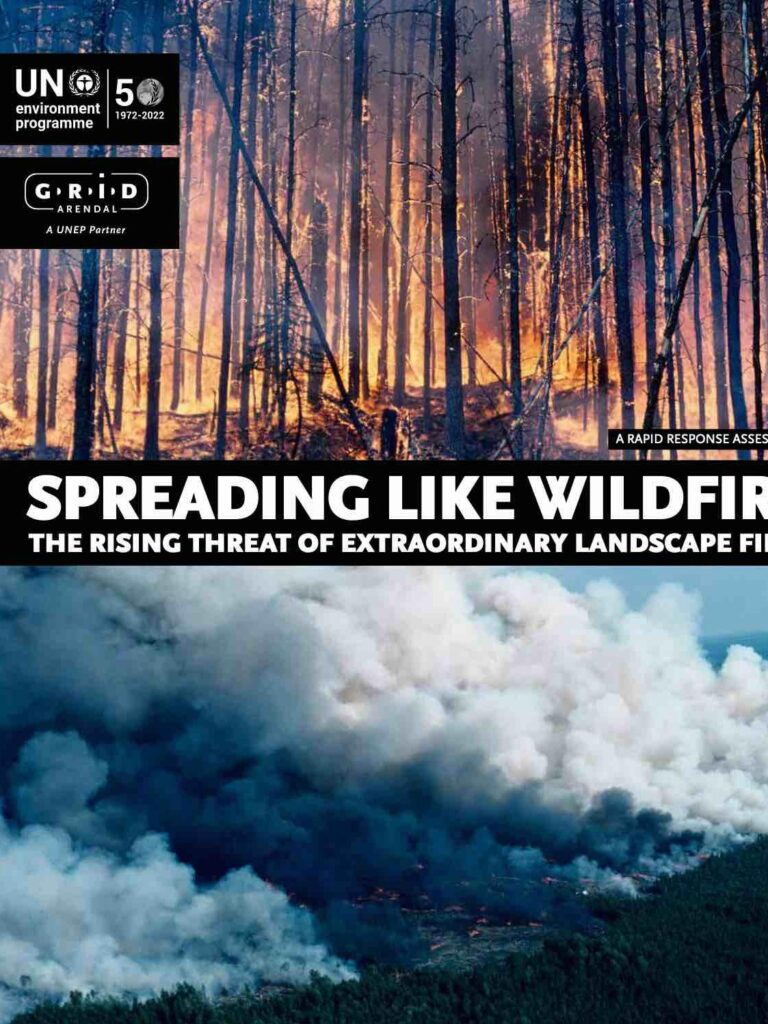
A report by UNEP & GRID-Arndal – Spreading like Wildfire: The Rising Threat of Extraordinary Landscape Fires, by finds that climate change and land-use change are making wildfires worse and anticipates a global increase of extreme fires even in areas previously unaffected. Uncontrollable and extreme wildfires can be devastating to people, biodiversity and ecosystems. They also exacerbate climate change, contributing significant greenhouse gasses to the atmosphere.

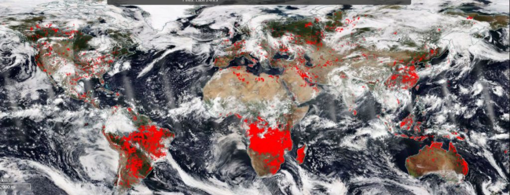
The new map showed that the proportion of global forest loss due to fires between 2001 and 2019 is 26% to 29%, higher than previously estimated. It showed near-consistent increases in wildfires across the globe, with boreal forests having the highest proportion of forest loss (69%-73%), followed by subtropical forests (19%-22%), temperate forests (17%-21%), and tropical forests (6%-9%). The map showed a worrying increase in fires in primary tropical forests of Latin America and Africa. Primary forests are forests in their ‘final form’; fully grown, dense, and bursting with biodiversity. They are extremely important for the environment. Typically, fires in primary tropical forests are very rare.

We must distinguish between “good fires” and “the recent devastating “mega fires” which have been consuming millions of acres of land in the United States, Europe and Australia.
The “good “ wildfires have been a natural part of the ecosystem and keep forests regenerative and healthy. Fires regularly burn clearing scrub and underbrush, making way for new grasses, new herbs, and shrubs that provide food and habitat for animals and birds.
These fires burn at a low intensity. Native people of all continents lived in harmony with the forests and understood the need and use of these fires and used their benefits to reinvigorate the forest ecosystem. That is all in the past.
Wildfires can get ignited by a number of reasons and causes – natural such as a lightning strike or man made fires which are the most common. However, where there is fuel waiting to burn, it is a matter of when, not if, it will become a large wildfire. Once the weather conditions reach extreme temperatures, high speed winds, and low precipitation forests with large fuel buildup are ready to explode. If the weather conditions continue to be hot and windy, wildfires can be unstoppable. Geospatial data is important to determine risk of fire spreading and area at risk because land topography also plays a big part in fire spread – Flames burn uphill faster than they burn downhill.
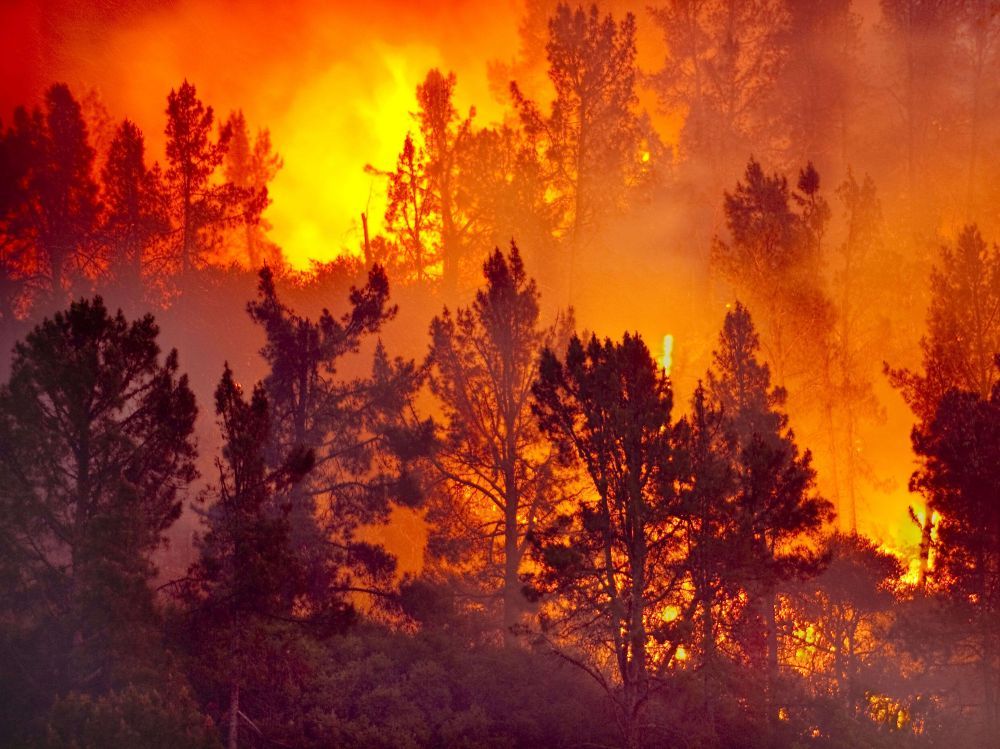
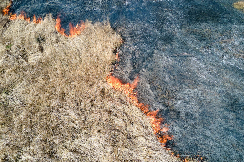
Ground fires usually burn roots and vegetation below and above the ground. Ground fires can smoulder for a long time, often for months.
Recently years have seen ground fire smoulder in Russian Taiga for autumn or winter months exploding to the surface with extreme heat.
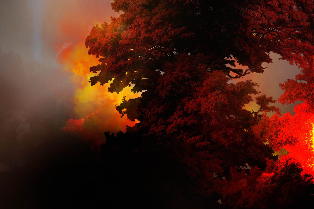
Surface fires, on the other hand, burn in dead or dry vegetation that is lying or growing just above the ground. Dry grass , small twigs and branches, or fallen leaves fuel surface fires. Farmers frequently burn croplands to clear land after harvest. These fires emit toxic and harmful smokes and can cause long periods of smog, lowering the air quality for weeks and months.
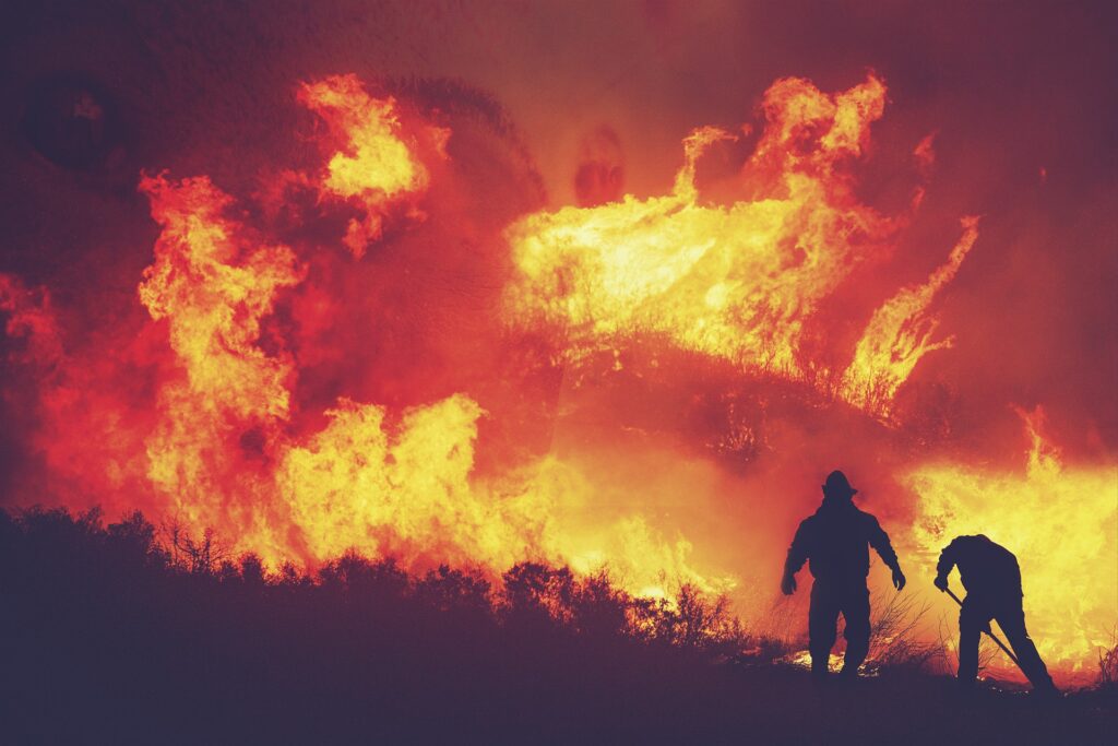
Crown fires burn in the large fuel (dead trees, shrubs, grass, leaves accumulating for a long period of time) on the ground and burn inside the trees with towering flames. These are the most destructive fires. Often, trees that have died from infestation add fuel to these fires. Crown fires burn trees up their entire length inside out to the top. These are the most intense and dangerous wildland fires.
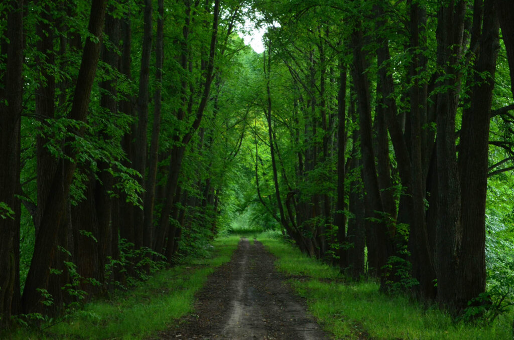
Large Forest fires are preventable through smart data-driven forest management. The size and scale of wildfires has increased because of Increases of certain tree species such as the cone bearing conifers over the “evergreen” trees that seasonally shed leaves. This problem has been observed in many mediterranean forests where pine tree cones explode like firecrackers thus turning wildfires into an ammunition dump like blow up.When these trees and their monoculture vastly exceeds the evergreen trees, it increases the wildfire risk. Invasive species and monoculture species , when they are planted in large numbers, especially for the pulp and paper industry, increase the intensity of wildfires.

The first step toward fire prevention is to bring back resilience to the forests and plant evergreen native trees , remove monocultures and start to restore the forests to their age-old natural state. Regeneration of the forest with native, evergreen trees and removal or reduction in monocultures is the most effective strategy to create long term resilience in forests. ForestSAT provides detailed analysis of tree types and vegetation which combined with knowledge of local forest managers can be used to plan reforestation and restoration.

Reforestation, creating plant diversity in forests, creating fire breaks and animal corridors, specified fuel-pick up and collection areas at fringes of forests thus limiting the need for large numbers of logging personnel to have access to forest are all means of preventing fires.
While some fires occur naturally, nearly 80% of all large forest fires are started by humans. ForestSAT considers communication with communities to be the most critically important element of fire prevention.
While fuel management is a long term work, preventing a spark or conflagration through communication can prevent most fires. Sharing forest fire risk warnings on commonly used mobile apps , WhatsApp and SMS alerts will go a long way in engaging villagers, tribals, forest workers in taking the precautionary measures.


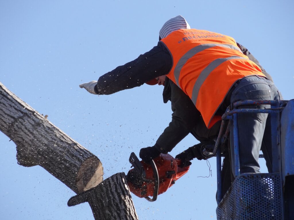


ForestSAT is able to provide fuel maps of precision and its AI will draw polygons as suggested areas for controlled burns, with the ultimate decision resting with the forest rangers and fire fighters who know the terrain and local conditions the best.
ForestSAT aims to be a key provider of geospatial intelligence to fire services of forest departments around the world to enable informed , data driven decisions on fire risk prevention and mitigation actions.
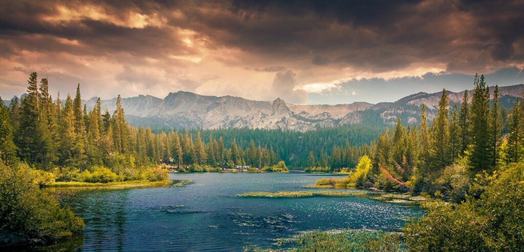
ForestSAT web and mobile app provides the best yet perspective and depth, transparent, democratic granular insight into forest vegetation, soil and hydrology to all stakeholders through decades of satellite data processed with ForestSAT ML on polygons of forest, with clearly identified fuel buildup areas at risk of large forest fires.
Reference:
Satellite Data and AI Forest Fire Prevention and Smart Forest Management. Lets talk about Nature Finance and innovative Forest Solutions.
mail@forestsat.space
© 2023 ForestSAT AS. All rights reserved.