Satellite Fire Monitoring & Alert System
for national Parks of Oregon

NASA TERRA (EOS) & AQUA satellite MODIS and VIIRMS Sensors

Fire & thermal anomaly data may be from fire, hot smoke, crop burning, or other causes and sources

Crater Lake National Park

Mount Hood Wilderness

Register with us

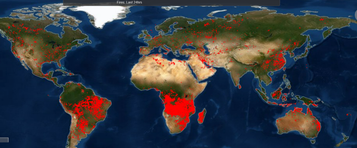
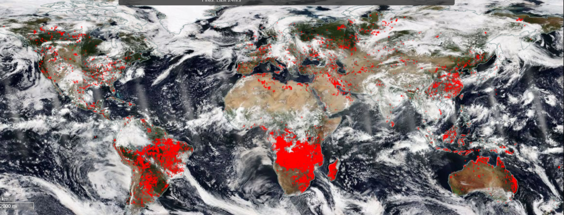
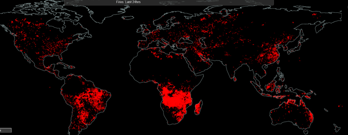
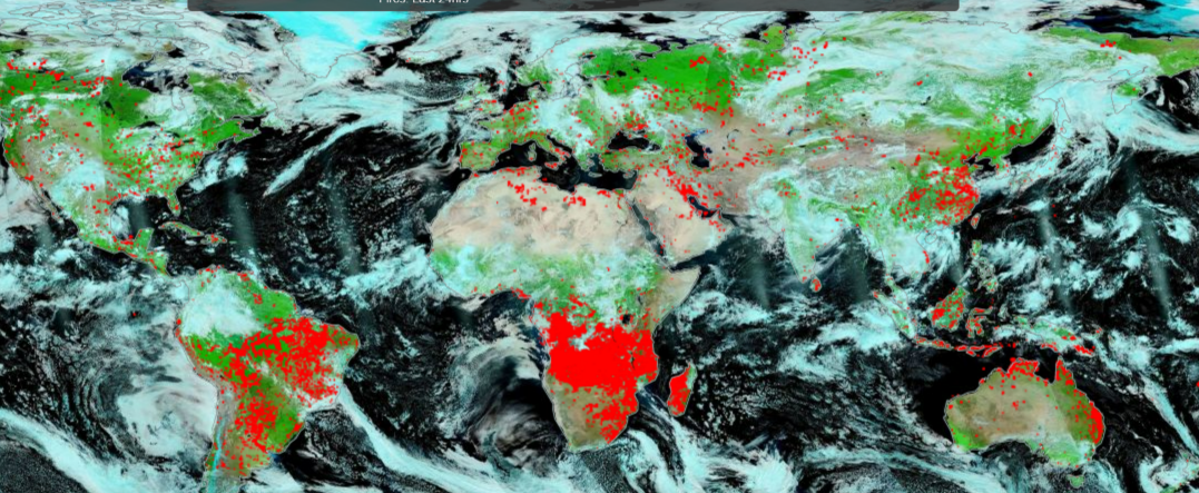
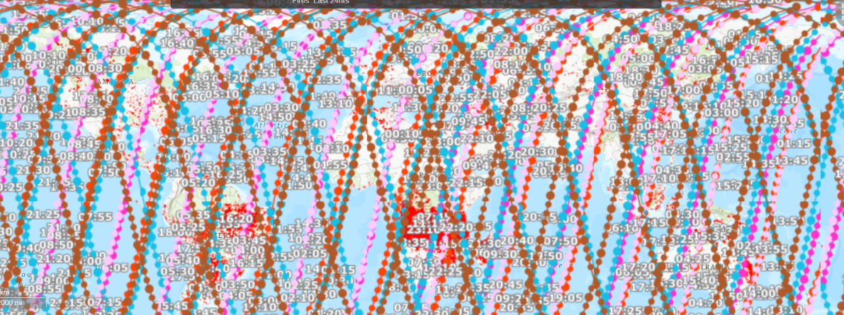
Note: MODIS active fire hotspot location is center of a 1km pixel that is flagged by the algorithm as containing one or more fires within the pixel. C Each VIIRS active fire/thermal hotspot location represents the center of a 375m pixel. MODIS & VIIRS sensors pick up a significant thermal anomaly. A persistent anomaly over a forest area is identified as a forest fire.
Global Satellite Fire Map August 2022
Global Satellite Fire Detection through Clouds August 2022
Night Time Mosaic Global Satellite Fire Detection August 2022
VIIRS NOAA-20 CORRECTED REFLECTANCE (BANDS M11-I2-I1)
Terra, Aqua, Sentinel Satellite Orbits