Continuous Infrastructure Monitoring
from Satellites by ForestSAT AI

ForestSAT monitoring and risk assessment of millions of miles of ecosystem around linear infrastructure

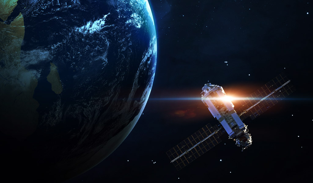
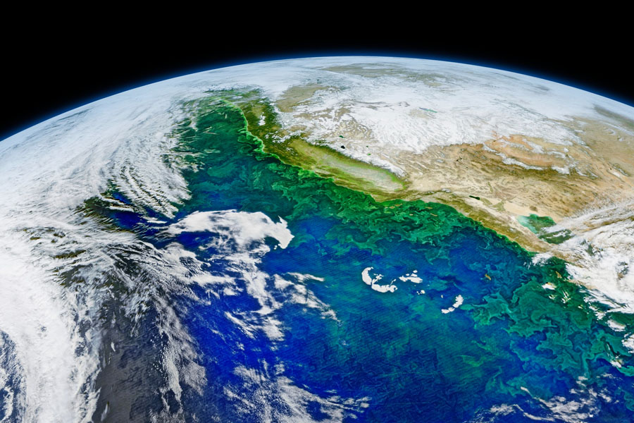
Precision & Accuracy

Satellite imagery and remote sensing technology are precise in geolocations and detail. We can generate accurate maps with geo locations and correlate them with cadastral data to develop highly accurate models.
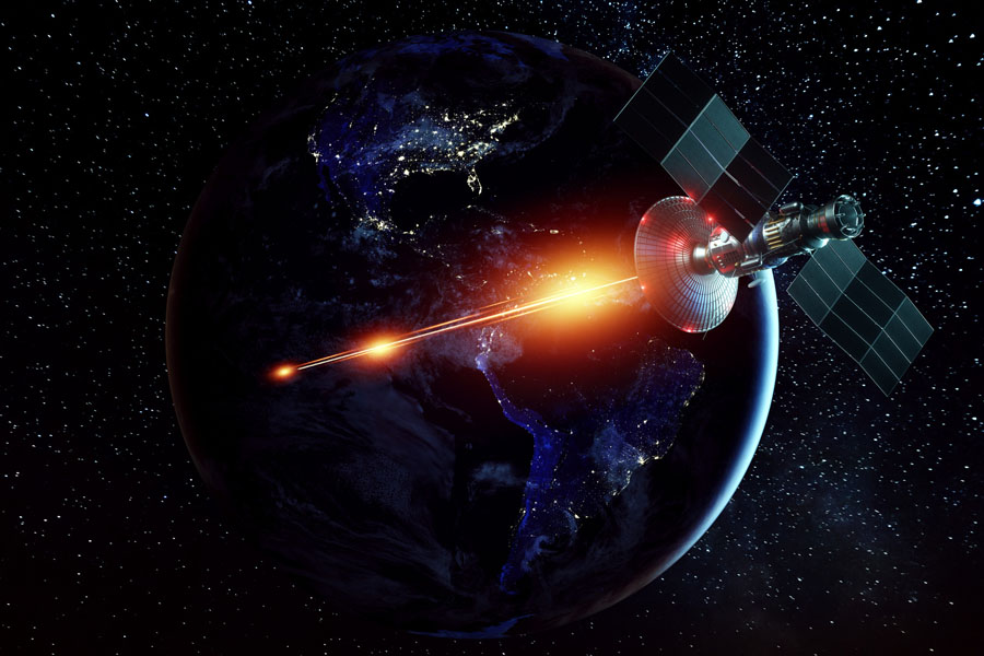
Continuous

Satellites make regular overpasses and provide continuous data feed.
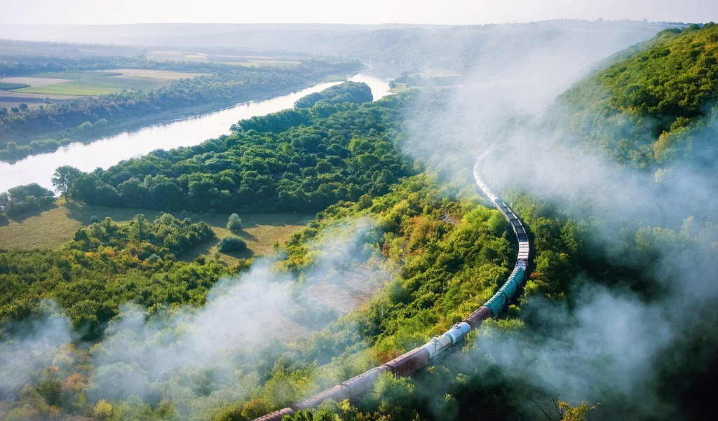
Provenance

Highly accurate satellite data is available going back several years and is useful in fixing undisputable provenance and tracking change.
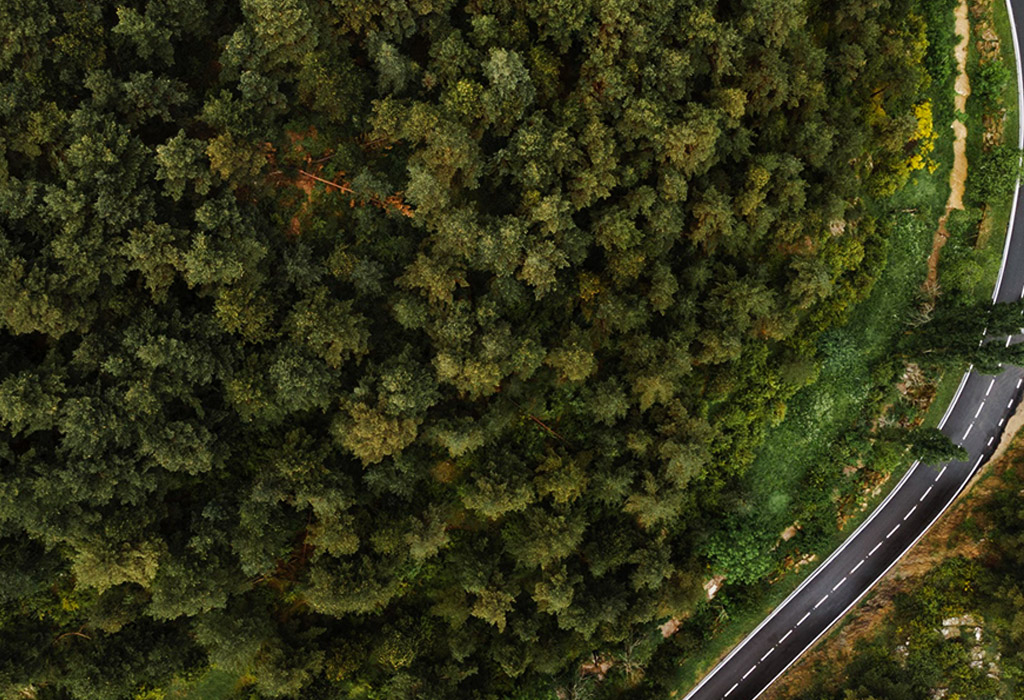
Cost & Time Saving

The enormous cost and time saving, covering larger areas, with greater accuracy, in a shorter time at less cost without specialised software or skilled staff requirement.

Our solutions are cheaper, continual, more effective and precise compared with traditional methods of aerial surveying. You will not need expensive software and no more skilled manpower or outsourcing to study images. You need no more additional manpower to interpret satellite imagery and multispectral data. ForestSAT AI will do all of that. You will get an easy to use interface on our desktop and your mobile so you can see the whole picture and data often as detailed in cm or inches.

Utility companies and railroads have traditionally taken care of immediate vicinity forestland around their linear infrastructure. Vegetation management has been about safety and line of sight. cleaning small parcels of land of bush, grass and weed is no longer sufficient because of increased risks.

Forest fires, once they break out, are burning large forest lands everywhere and destroying billions of infrastructure.

Our AI recommends proactive action in vegetation management within the ecosystem to minimize the risk of catastrophes.

Our AI analyses millions of miles of linear infrastructure and wide zones around them in most complex terrains on a regular basis at far lower costs than ever before.

That means greater accuracy, regularity, cost saving and data sharing for quick access to funding.

This will lead to responding to risks with a sense of urgency , mobilizing resources, contracting professional service providers and arranging funding by providing data to all stakeholders from policy makers to front line workers.

Regulators worldwide , starting with California, are making it mandatory for companies to state their wildfires risk mitigation plants and hold electric utilities accountable for preventing fires caused by their equipment.

Since 2015, power lines have caused six of California’s 20 most-destructive wildfires.

Power lines and transformers are prone to causing or inflaming Forest Fires by falling trees, sparks from raging wildfires and flying debris.

Conventional and cursory trimming of branches in the immediate vicinity of power lines is no longer sufficient.

A comprehensive strategy and action plan is needed by utilities and is now not voluntary.

Given the scale of costs, claims, penalties utilities are now required to prioritise grid safety and wildfire mitigation action.

Detect Threat To Railroads, Highways & Powerlines

Climate events and disasters are a huge threat to critical infrastructure. At the same time ecosystem and climate change impact around geographically distributed assets in remote areas has been difficult to monitor. ForestSAT leverages satellites data daily and our AI does ongoing analysis to detect multiple types of changes and emerging threats.

Satellite images , SAR data analyzed by our AI can monitor risk and impact of extreme natural events on forests and predict risk of forest fires in areas and geography of critical infrastructure.

We provide:

  • Regular ecosystem awareness updates
  • Alerts on extreme events & predict risk of wildfires
  • Remotely monitor your assets

Environmental Awareness

Environmental awareness is essential to protect natural heritage from accidents, spills, pollution, fires and other hazards from human error or industrial activity in sensitive areas. ForestSAT provides full environmental awareness of vast areas in which a corporation operates pinpointing details of human habitats and resources, endangered animals, bird reserves, water resources, forests and more. You will reduce, minimise and then eliminate the risk of environmental disasters. This awareness will mean your proactive conservation actions will have a substantive positive impact on ecology.

Electricity Grid Wildfire Risk Mitigation

ForestSAT AI helps build Wildfire risk mitigation plan by for prevention forest fires in vicinity of grid. It is not only important to eliminate the risk of a wildfire originating from grid but also to protect the grid from mega fires and fire tornados.

ForestSAT wildfire fire mitigation solution goes deeper and farther than trimming of trees in the immediate vicinity of power lines. It analyses fuel buildup in the general area that might explode at the first spark.

ForestSAT AI makes it possible to commission, monitor and document smart vegetation management in larger risk areas and coordinating action with multiple responsible agencies.

ForestSAT machine learning models analyze Satellite Data from multiple satellites going back several years to provide a comprehensive AI actionable intelligence:

  • Our satellite imagery and multispectral data gives perspective far beyond the vicinity of the grid along its whole length.
  • Analysis of fuel build up
  • Fire areas-at-risk analysis
  • AI generated project tasks for work order generation
  • The electric grid in Southern Europe, US West is facing enormous challenges from wildfires and severe droughts fueled by climate change. On their part Utilities are fully aware of the risks and now commissioning geospatial data for going farther than ever before in fire risk mitigation.