AI for Climate Change
Resilient Nature Parks

Several national parks around the world practice zero interference in wildlife and plant conservation. Letting nature take its course while preventing human activity such as trapping, hunting, and logging has created several oases of natural biodiversity in national parks. Many of them are faced with new and unprecedented risks from climate change-induced drought and extreme events and have experienced devastating fires. 

Geospatial Insight

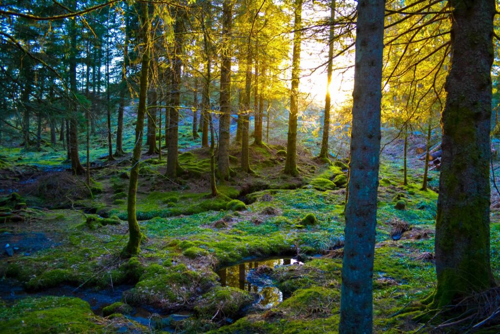
ForestSAT provides a deep insight & change analysis into the tree health, forest fuel, soil, hydrology, flora & fauna and more to the National Parks to enhance their understanding of climate change impact at granular level.
This service is meant to empower national park resilience and conservation.
Analysis ready imagery and machine learning ready data sets are provided so researchers may carry out their work with greater impact at faster than usual speed.

Protecting National Park Heritage Of Earth

The United States has 63 national parks, which are designated protected areas operated by the National Park Service. 

The total area protected by national parks is approximately 52.2 million acres (211,000 km2)

There are 106 national parks in India.

They cover an area of 44,378 km2, Hundreds of protected wildlife have been flourishing in Indian national parks. The network is set to go to 176 in some years.

Europe has more than 500 national parks and numerous Natura 2000 sites with the common European policy of protecting Europe’s unique variety of wildlife, habitats and landscapes.

Challenges & Solutions

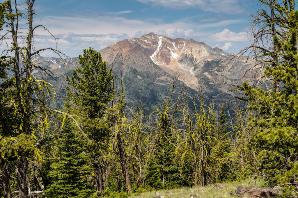
  • How climate change has affected Nature Reserves and Protected Areas?
  • What impact climate change and human activity has had on areas around national parks and reserves.
  • What are the vulnerabilities of National Nature Reserves.
  • How prepare adaptation measures to protect natural serenity of Nature Parks and Reserves.

ForestSAT AI for National Parks

National parks have been gathering aerial, hyperspectral, RGB and ground data for decades. We orchestrate legacy data to build machine learning models which, with new data inputs from satellites or aerial observation give unique insights to forest managers and park rangers.